Feb. 1, 2016
We are a global leader in geopolitical forecasting. We deliver cutting edge analysis and intelligence so you can stay ahead of the news.
Subscribe to Geopolitical Futures today and get:
- Unbiased analysis of global events
- Daily geopolitical briefing
- Long-term forecasts to help you prepare for the future
- No paid advertising - 100% subscriber-supported
100% Money-Back Guarantee
Choose your subscription or membership:Understand The Issues That Are Shaping The World's Future
GPF Monthly
SUBSCRIPTION
- Access to all content
- Daily Geopolitical Analysis
- Geopolitical Forecasts
- Forecast Insights
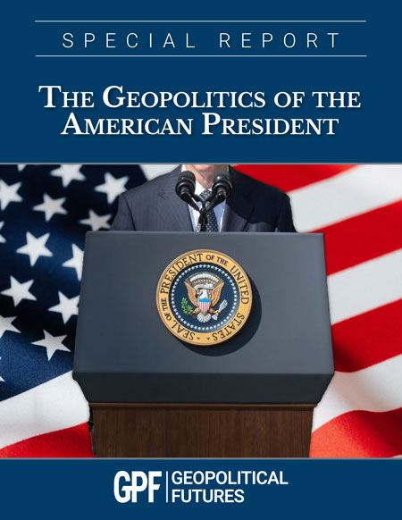
PLUS Special Report: The Geopolitics of the American President
PDF download immediately after purchase
GPF Annual
SUBSCRIPTION
- Access to all content
- Daily Geopolitical Analysis
- Geopolitical Forecasts
- Forecast Insights
PLUS Special Collection on the Middle East
PDF download immediately after purchase
Yearly
MEMBERSHIP
Club Membership +
Subscription
- Access to all content
- Daily Geopolitical Analysis
- Annual Geopolitical Forecasts
- Forecast Insights
- Regular Live Video Discussions
With George and GPF analysts - Podcast+ Episodes
Available only for Club Members - Exclusive Access to Discussion
Forum
Discuss and debate Geopolitics with the ClubGPF community - Access to all Live Discussion
Recordings
- Membership in our Special Series DiscussionsIncluding the Series on Geopolitics and Economics
- Other exclusive content
Including a Map room and additional videos - Special Report:
The World Explained in Maps
For information about site license and multi-user options for organizations, governments, corporations, and libraries please contact us at sitelicenses@geopoliticalfutures.com
Why do our subscribers love us? Take it from them:
I can't emphasize enough my appreciation for you and the rest of the staff at Geopolitical Futures. Over the past three years... I have had a lot of bad information and impoverished understanding corrected because of your analyses.
Kevin G.
Some times the politics and journalism of the world gets in the way of clear thinking (at my own peril). Your ability to provide perspective and context to the things that really matter are of high value.
H. W.

30 day money-back
guarantee
If you are not completely satisfied, you may cancel your subscription within your first 30 days and receive a full refund. Trials are not eligible for refund.

Full access
to our content
With any paid subscription you get full access to our entire content.

Our promise
to you
At GPF, there are no gimmicks, ads or clickbait. The world is complex, but we don’t dumb it down for you. We empower you to understand it.


